18 Places Google Maps Won’t Let You See
Here’s a collection of 18 Places Google Maps Won’t Let You See. You may think that Google Maps shows everything on earth, this is in fact false. There are many areas which governments have ordered Google to remove.
Much of the world’s available satellite imagery are no more than 3 years old and updated on a regular basis. Google Maps provides high-resolution aerial or satellite images for most urban areas of the world. This showcase of 18 Places Google Maps Won’t Let You See show mysterious and interesting places google maps can’t show.
Atomic site, France
We’re not sure what “The Marcoule site of the Commissariat l’Energie Atomique†means, but we’re pretty sure the word “atomique†is the keyword here.
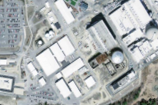
Seabrook Nuclear facility, New Hampshire
This is believed to be the Seabrook Nuclear Power Station in the northeast corner of the United States. Are you as fearful of nuclear power as we are?
Missile silo, Spain
According to a researcher with WikiMedia, “On this lot there is a small building with something almost like a silo in the middle. This location is not blocked in Yahoo! Maps. There is no image for this location in Virtual Earth yet.â€
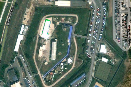
NATO Headquarters, Portugal
This one would be hilarious if it weren’t so sinister. Whoever doctored the image of the Portuguese HQ for NATO simply copy-pasted another piece of Google Earth over the actual layout of the building. Weird.
Colonel Sanders
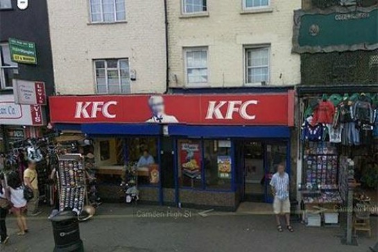
Here’s the strangest of them all: Col. Sanders, the face of Kentucky Fried Chicken, appears in exactly zero Google Street View images. That’s because, as a Google spokesperson notes, Sanders was a real person and everyone is supposed to be blurred on Google sites…
“The Hill†aka Elmira Correctional Facility
This maximum security prison in upstate New York is understandably blacked out… we guess. After the Attica Prison Riots and several incidents worldwide of uprisings and mass escapes, officials could be worried about a possible helicopter-led breakout.
Babylon, Iraq
While the surrounding area (including its surprisingly rich farmland) is visible, the city of Babylon, Iraq itself is all blurry. You can bet it has something to do with the insurgents there…
Mazda Raceway Laguna Seca, Salinas, CA, USA
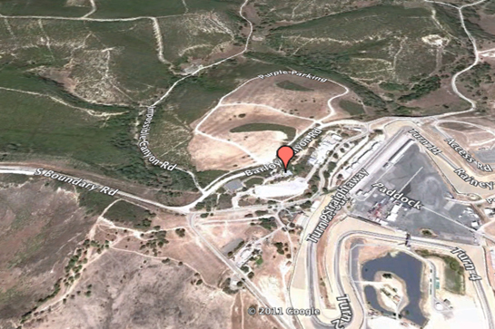
Here’s the strangest bit of censorship on Google Maps: the Mazda Raceway Laguna Seca in Salinas, California. It’s heavily whited out, in fact, as if an angry hand did the trick. The weirdest part is the facility is just what it sounds like: a seemingly-harmless racetrack
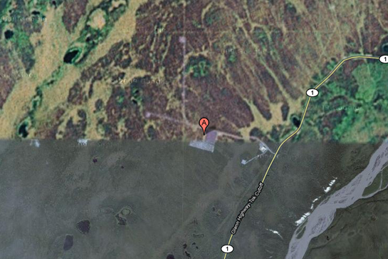
HAARP Site, Gakona, Alaska, USA
HAARP (High Frequency Active Auroral Research Program) is one of the most controversial operations currently active in the United States. The Gakona, AK site and its ionospheric testing is believed by some conspiracy theorists to be the cause of everything from floods to earthquakes, although the evidence of this is very minimal.
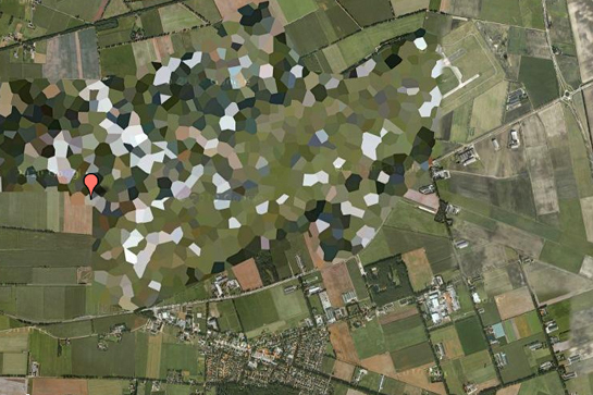
Volkel Airbase, Netherlands
It’s pretty ridiculous how blatantly blurred this one is, but then again, WikiLeaks did publish a diplomatic cable that confirmed the presence of nuclear warheads at this base.
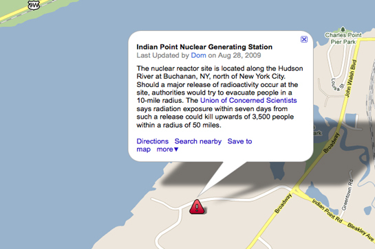
Indian Point Power Plant, New York, USA
Everyone from Democratic Governor Mario Cuomo to former Republican Congresswoman Sue Kelly has called for the Indian Point Power Plant to be shut down. On top of environmental concerns, the upstate New York structure is, according to experts in the energy field, not strong enough to withstand an earthquake like the one that recently devastated Japan.
Reims Airbase, France
Why is the Reims Airbase in France blocked out? Perhaps it emits a particularly foul body odor. (Just kidding, we love the French.)
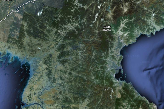
North Korea
You’ve no doubt heard about this country, one of the members of the supposed “Axis of Evil,†but few have ever visited. You won’t see it on Google Maps, either, as the entire country exists in images but without highway markers, street names, or any other identifying details.
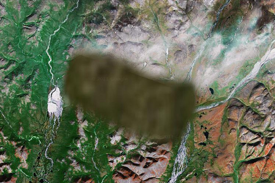
Unknown area, Russia
Another one that is so mysterious, no one has a clue what it is. One commenter on the website Siberian Light speculates it’s either “a radar station or missile interceptor,†while another notes that the image of the surrounding area appears to have been copy-pasted from another part of the country.
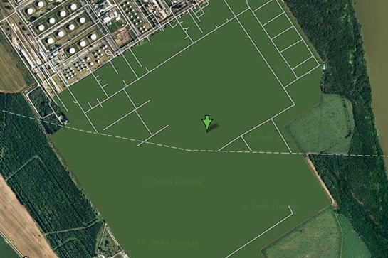
Szazhalombatta Oil Refinery, Hungary
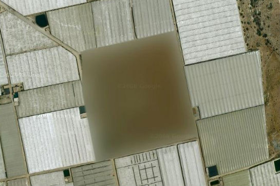
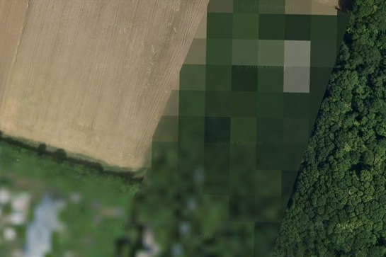
One of the strangest acts of alleged “censorship†is this Hungarian oil facility, which is simply rendered green. That’s right — the grounds are deleted, the buildings are missing, and what you have left is flat grass.
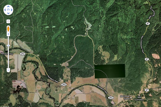
Pacific Northwest, USA
Here’s one that gives us chills. What exactly are we not seeing here? The site is close to the Washington-Oregon border and is rumored to have something to do with FEMA, HAARP or, really, anything at all. Prison Planet readers inspected the site in person and could find no identifying details other than an ominous fence and unmarked entrance.
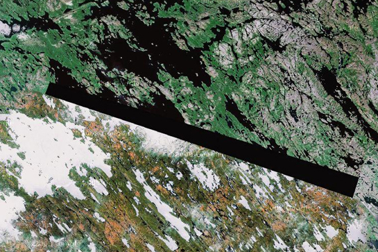
Baker Lake, NU, the Inuit nation in northern Canada
A man indentified as “Dr. Boylan†believes that the blacked out area seen above and those found in several other locations are blocking the locations of extraterrestrial beacons.
Ramstein Air Force Base, Germany
This NATO air force hub is a retreat for the Operation Iraqi Freedom forces, and as such could definitely be considered a terrorist target. That could explain why the facility is partially blanked out on Google Maps.
